


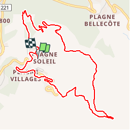

11.1 km | 21 km-effort


User GUIDE


FREE GPS app for hiking
 SityTrail
IGN / Geographical institutes
SityTrail World
The world is yours!
Trail Walking of 6.3 km to be discovered at Auvergne-Rhône-Alpes, Savoy, La Plagne-Tarentaise. This trail is proposed by randotines.
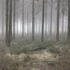
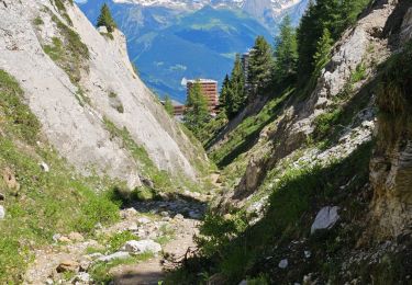
Petite sortie à pied de la Plagne Soleil en passant par Plagne Village.Sans difficultés aucune avec de très beaux points de vues sur le Mont Blanc. Retour par le sous-bois magnifique.

On foot

On foot

On foot

On foot

On foot

On foot

On foot

Walking
Walking